Detalles
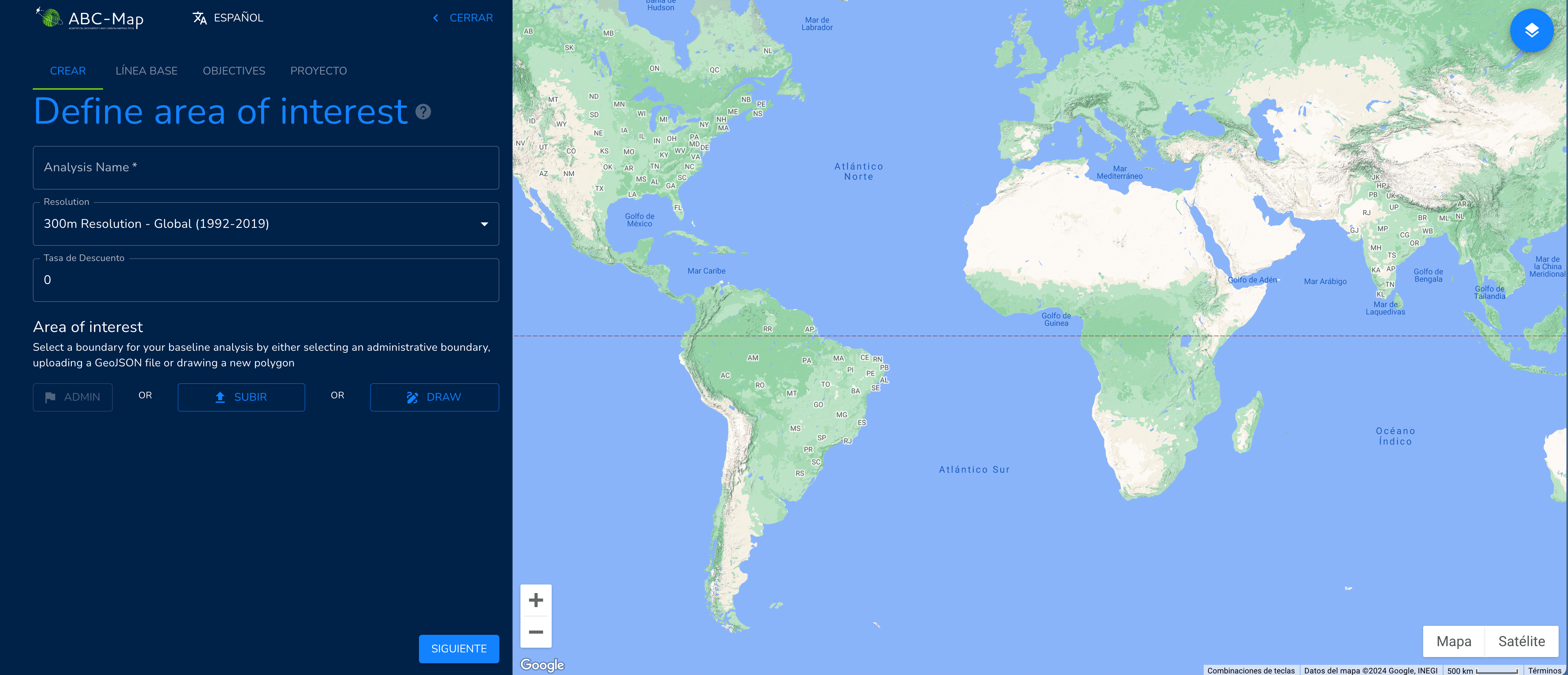
ABC-Map has been designed with the specific objective of holistically assessing the environmental impact of national policies, plans and investments in the agriculture, forestry and other land use (AFOLU) sector using satellite imagery based on Google Earth. ABC-Map helps to develop synergies and trade-offs between climate, biodiversity and land restoration actions. It is a geospatial application for mapping adaptation, biodiversity and carbon, you can consult at this link. |
Recursos relacionados
Urban Nature Platform
European Commission platform to guide and provide knowledge to municipalities that want to improve and restore their urban nature.
EU maritime transport: progress made, but environmental, sustainability challenges persist
This second edition of the European Maritime Transport Environment Report, published by the European Maritime Safety Agency (EMSA) and the…

Mobilising internal finance: how forest and farm producer organisations upscale financial access
Access to finance for rural communities composed of smallholders, family farmers and indigenous peoples is very limited. Smallholder farmers and…