Detalles
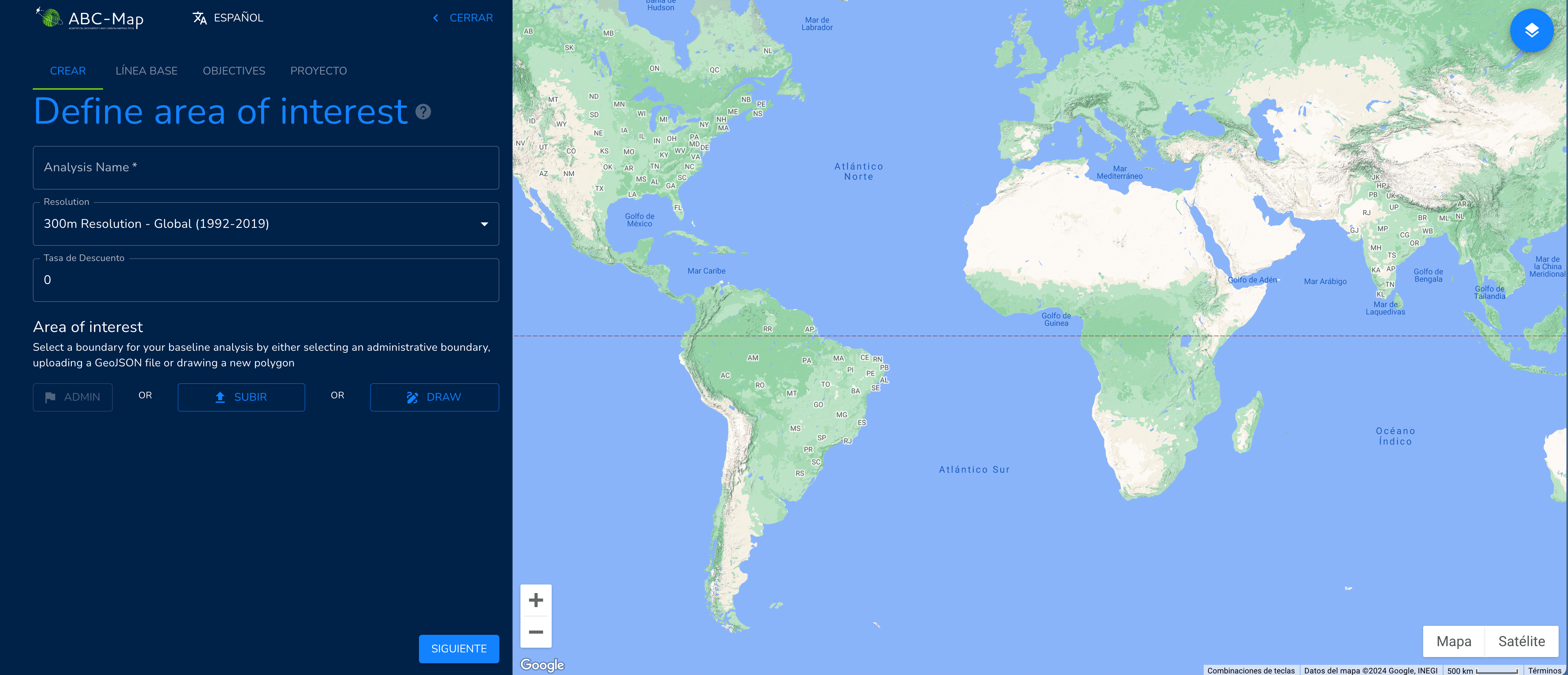
ABC-Map has been designed with the specific objective of holistically assessing the environmental impact of national policies, plans and investments in the agriculture, forestry and other land use (AFOLU) sector using satellite imagery based on Google Earth. ABC-Map helps to develop synergies and trade-offs between climate, biodiversity and land restoration actions. It is a geospatial application for mapping adaptation, biodiversity and carbon, you can consult at this link. |
Recursos relacionados

Just a transition to a circular economy
El informe analiza cómo la transición hacia una economía circular no solo debe centrarse en reducir residuos o mejorar la…
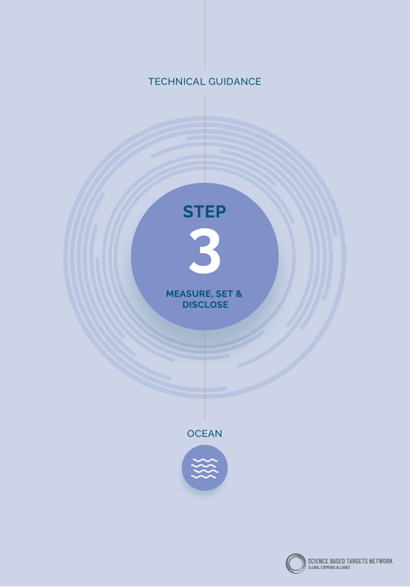
Step 3: Measure, Set, & Disclose Ocean targets
The Science Based Targets Networks (SBTN) Ocean Hub has developed a series of guidelines to equip companies with the tools…
2013