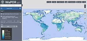
Water productivity data is now available to everyone with WaPOR v3
Detalles
Following its geographical expansion worldwide, WaPOR version 3 data is now publicly available at all levels. High-resolution data at 20 meters is also available for the entire Nile River delta.
The new portal offers a wide range of features that aim to provide tools to users to get the most out of data, such as:
|
Recursos relacionados
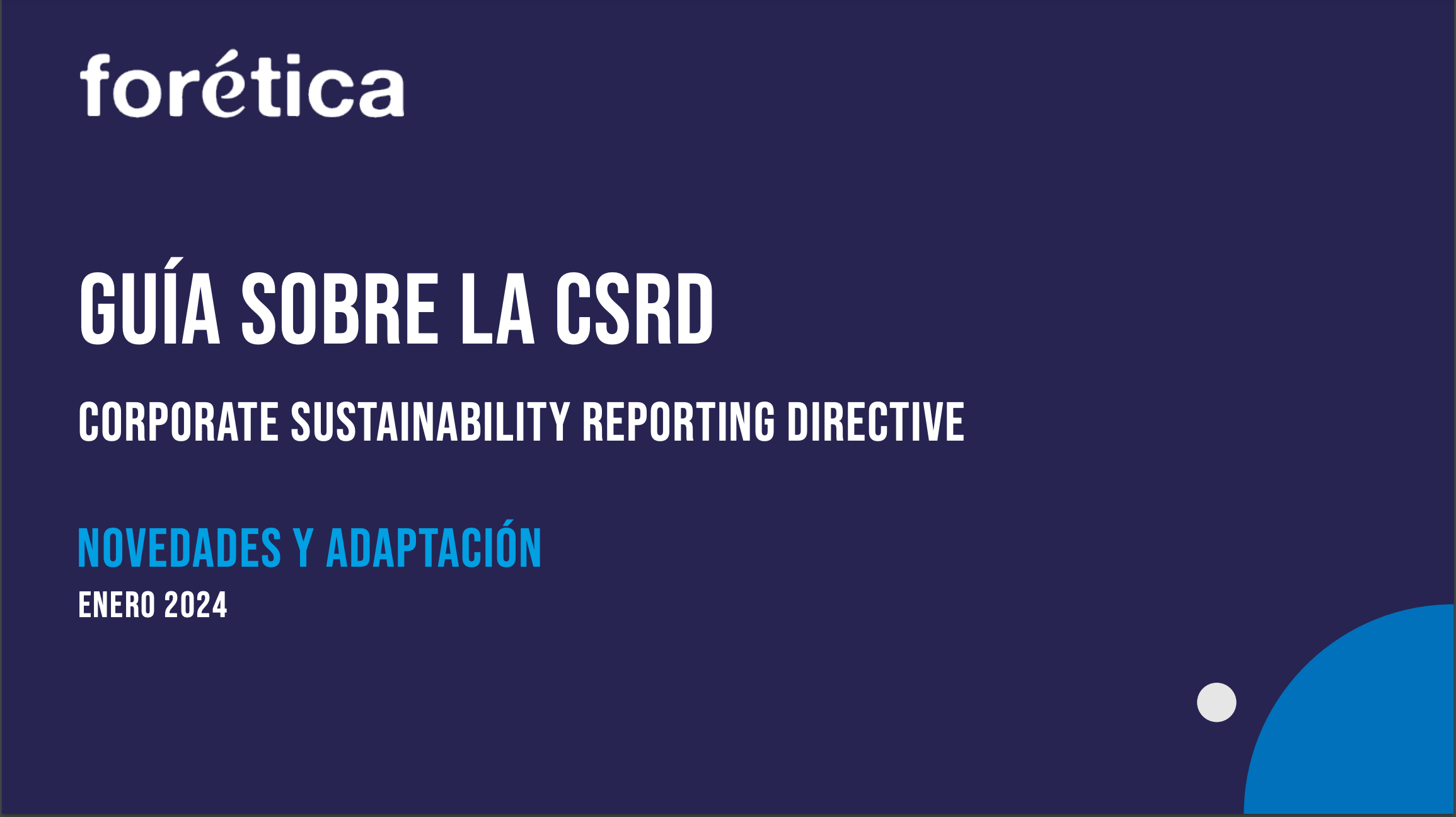
Guide to the Corporate Sustainability Reporting Directive (CSRD)
The guide details the new features of the new Sustainability Reporting Directive (CSRD) with respect to the new Directive on…
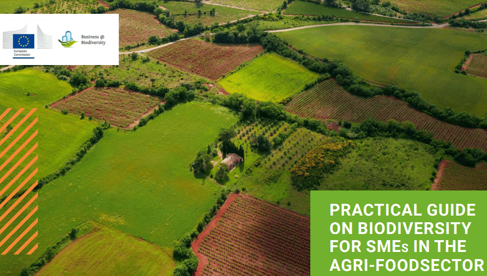
Practical guide on biodiversity for SMEs in the agri-food sector
Este documento ha sido elaborado por la Plataforma Europea Business @ Biodiversity (EU B@B Platform). Se trata del primer borrador…
ENCORE: latest updates (June 2024)
The webinar provides an overview of the latest updates and how financial institutions can use the ENCORE tool more effectively.Seven…